
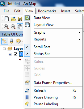
Introduction to ArcGIS
This introductory training session will give you the most basic GIS software skills. Extensive exploration of the ArcGIS interface will enhance the acquisition of additional GIS skills.
Learning objectives
|
|
Database Basics
This introductory session on geodatabases and database design will give you the basic knowledge and skills needed to take advantage of database functionality for optimum data creation, storage and retrieval. The Database construct facilitates extended editing & analysis.
learning objectives
- Learn why databases are important
- Understand the basics of RDBMS
- Understand what a Geodatabase is
- Learn about vector, raster, & cadastral data
- Understand the difference between layer, shapefile, and raster file
- Learn the basics of database modeling
- Discover guiding questions for database modeling
- Learn how to design data tables
- Determine how to control data entry
- Learn "why is data cleaning so important?"
- Understand how to define data relationships
- Acquire knowledge on when and how to use ArcCatalog
- Discover Editing (Editor toolbar) and analysis tools (geoprocessing: buffer/clip)
Cartography, an Introduction
Ah, the art and science of making maps! This basic cartography session will enhance your understanding of what it takes to turn data into attractive and meaningful maps. This session ties together details from Intro to ArcGIS and Database Basics.
learning objectives
- Learn more about depicting data in finished Maps
- Gain a deeper understanding of Cartographic Design
- Learn more about Symbology for vector and raster data
- Discover Labeling 3 ways
- Discover the functionality of Data Frames and organizing the Table of Contents
- Learn to control your Data frame(s)
- Learn about more toolbars - drawing and layout
- Gain an understanding of what Layout view is and when/how to use it
- Learn how to add standard Map Elements and other objects to finished maps
- Learn more about exporting maps
