
GISCNR's home location
Sharing public maps via AGOL makes it easy to embed maps like this on any website.
Click a marker to get information about that site
Click the double chevron >> to open map details
Click + or - to zoom in/out
Click the square that looks like a puzzle to change the basemap
Tree Inventory in progress
Click a dot to see details about a tree.
Maps like this are also used in Esri's Operations Dashboard.
Maps like this are also used in Esri's Operations Dashboard.
View this map in Esri's ArcGIS Online at: http://arcg.is/mnCea
If you have need of a spatial inventory app or web map, contact us!
If you have need of a spatial inventory app or web map, contact us!
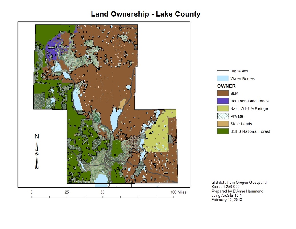
Publicly Available Data Layers
Disclaimer: This map was created for demonstration purposes and may not be suitable for navigation or policy decisions.
Use this mapped information at your own discretion.
Layers curated by individual State or County agencies can be viewed by visiting their respective ArcGIS Online sites.
Use this mapped information at your own discretion.
Layers curated by individual State or County agencies can be viewed by visiting their respective ArcGIS Online sites.
This map includes data layers from State of Oregon and Benton County, Oregon.
Map created by D'Anne Hammond; hosted on AGOL by GeoMobile Innovations.
Map created by D'Anne Hammond; hosted on AGOL by GeoMobile Innovations.
Static Maps are Useful Too
Street Map:
|
|
Parks:
|
| ||||
We can do this for you...
or we can show you how!
Projects
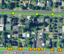
Collector for ArcGISStorm manhole inspections
Catch basin inspections & cleaning Sewer manhole inspections Backflow inventory Hydrant inventory Many active field tasks and inventories can be managed more efficiently using the Collector app. |
Survey123
Using Esri's Survey123 we've developed a detailed tree inventory form. This app and form are designed to facilitate inventories of over 290 tree species.
This app is useful for city street trees and forest inventories alike. |
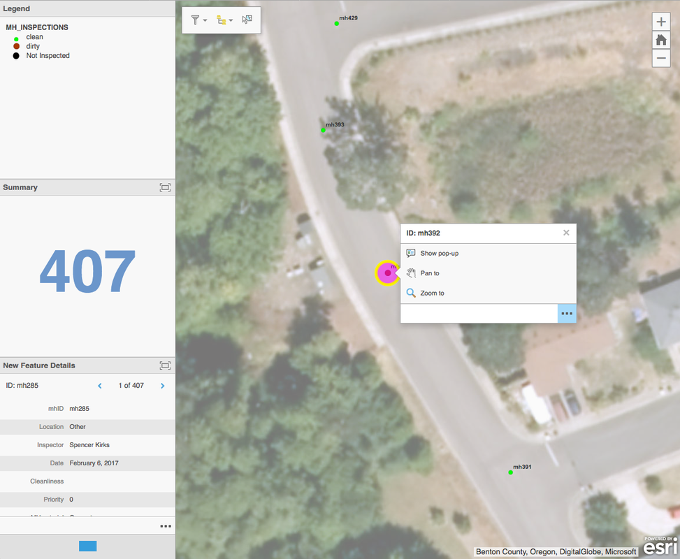
Operations Dashboard
Operations Dashboard, when used with Collector and other apps, lets supervisors track real-time progress of ongoing field activities from the office.
|
