
GIS is the best way for Public Works to meet the majority of condition and maintenance record keeping requirements. It is also indispensable for Land Use Review and Response, increases efficiency of operations, and facilitates comprehensive planning efforts.
Document it...Map it...Share it!
|
Infrastructure
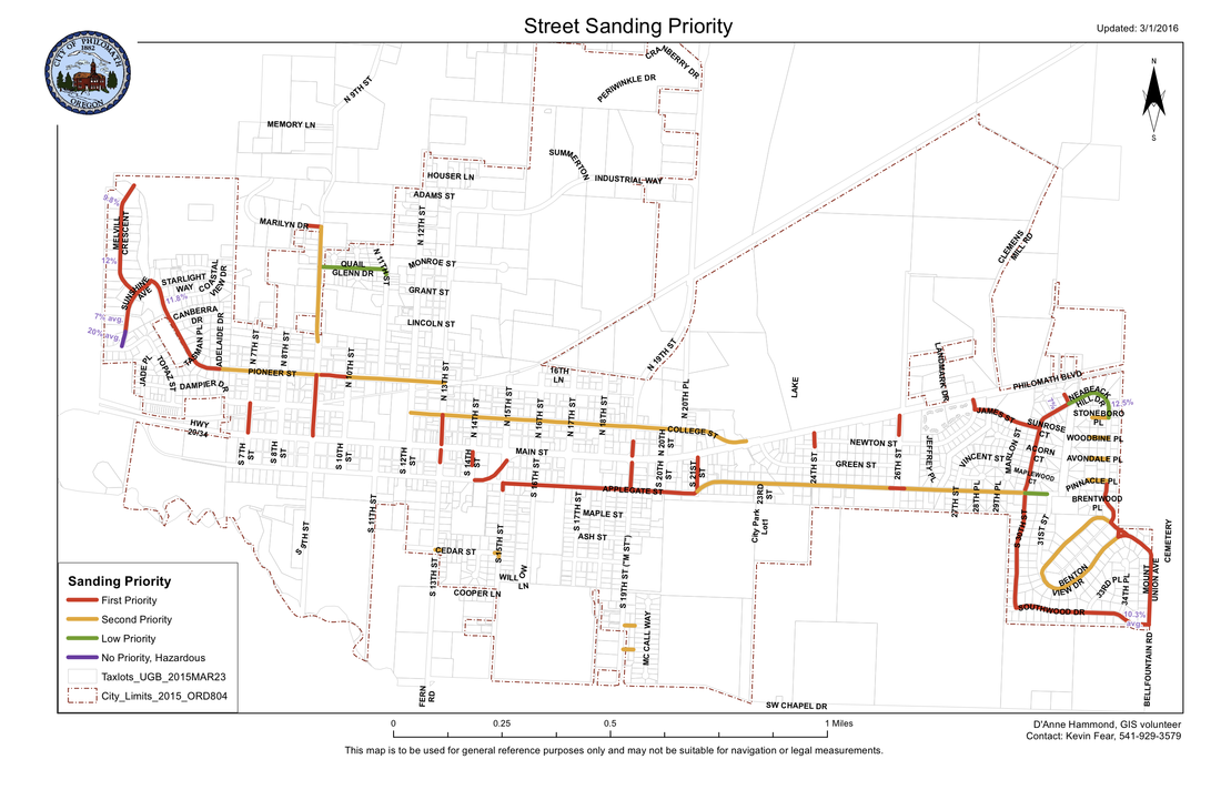
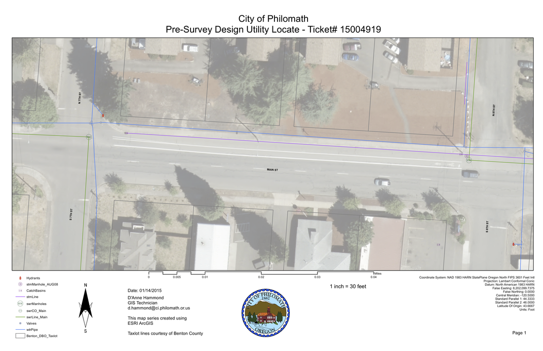
Sewer System inventory/I&I Storm system - NPDES/TMDL Streets & Signs - FHWA Sidewalk ADA accessibility Street Sanding Priority Water systems |
Mapping
Online maps Base maps Street maps Mapbooks Wall maps Maps for grants |
Planning
Attach notes to property records Development - Urban Renewal/CIP/LID Alternative visualizations Zoning Land Use Review Annexations |
|
Public Safety
Strategy maps Web-based Incident Reporting Fire Hydrants - flow test tracking |
Healthy Communities
Canopy Cover - ecosystem services Street Trees - inventory & Tree City Parks & Trails - recreation & planning |
Services
- Assessment, data collection and processing, and geodatabase design are time consuming so we offer experience and knowledge to help you out with topics you choose.
- We also offer many mapping and analysis services to facilitate accurate and efficient management of your city's assets including web-based maps & apps.
- See How-It's-Done for an overview of full GIS design and implementation.
- Ongoing data services are essential to keep your GIS up-to-date.
Contact us to find out more!
Sample maps
Traffic Sign Management Manual...a selected sample:
| philsignmgt.pdf |
